Planimeters · Volume 2
A Short History of the Planimeter
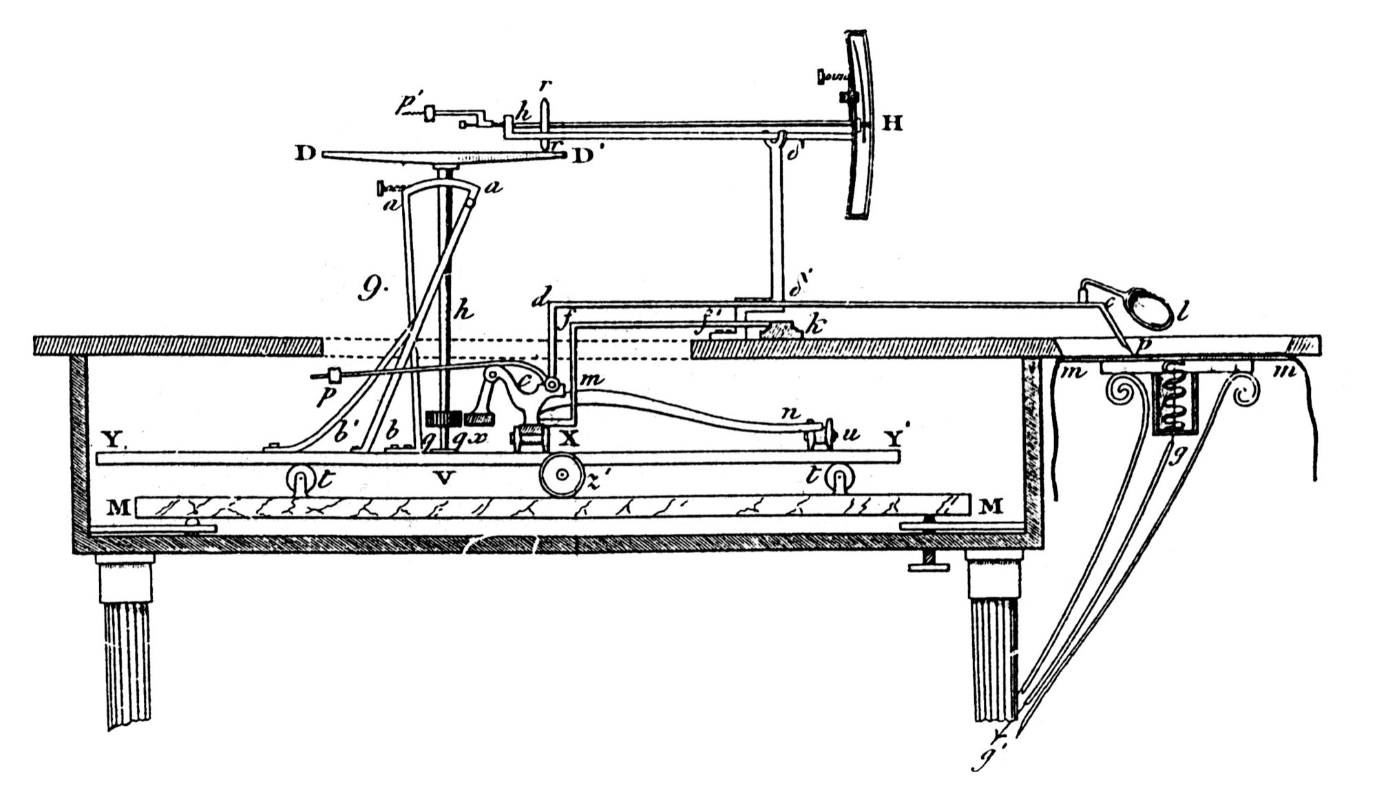
Measuring an area was a real problem for surveyors and engineers. A field on a map, a cross-section of an embankment or a ship’s hull, the area inside an engine’s pressure curve: these are irregular shapes with no formula. The old ways were to divide the figure into triangles and strips and add them up, or to lay it over squared paper and count. The planimeter, an instrument that measures an area simply by tracing round it, was invented several times in the first half of the nineteenth century, perfected by Jakob Amsler in 1854, and made in hundreds of thousands until computers replaced it.
2.1 Before Amsler
- Johann Martin Hermann (1785–1841), a Bavarian land surveyor, devised a planimeter using a wheel running on a cone in 1814. It was never published and no example survives; Amsler himself credited Hermann with the idea, and the Deutsches Museum marked “200 years of the planimeter” in 2014. Some sources give 1818.
- Tito Gonnella of Florence reinvented the cone-and-wheel mechanism in 1824, realised the cone could be replaced by a disc, and showed his instrument at the Great Exhibition of 1851.
- Johannes Oppikofer of Switzerland built a cone planimeter, made by Ernst of Paris from 1836.
- Kaspar Wetli and Georg Christoph Starke of Vienna made a wheel-on-disc planimeter, patented in Austria in 1849.
- John Sang of Scotland made a rolling “platometer” in 1851, and James Clerk Maxwell, then 23, described a new form of it to the Royal Scottish Society of Arts in January 1855, though he seems never to have built it.
These were all orthogonal or linear planimeters: a carriage moved on rails, and a wheel on a cone or disc integrated the area strip by strip. They were large, expensive and delicate.
2.2 Jakob Amsler and the polar planimeter
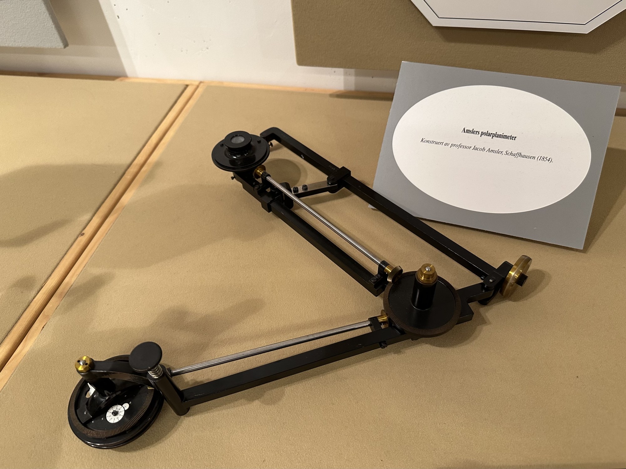
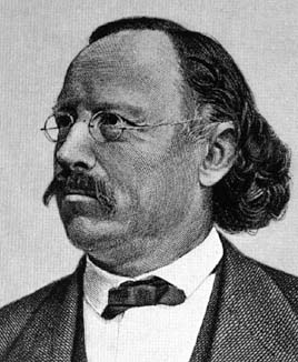
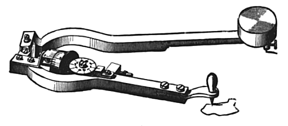
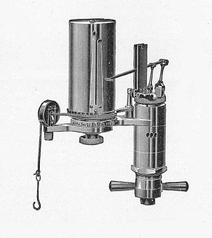
Jakob Amsler (1823–1912) was a Swiss mathematician and physicist, a doctor of Königsberg under Franz Neumann, teaching mathematics at the gymnasium in Schaffhausen. In 1854 he devised a far simpler instrument: two arms hinged together, one swinging about a fixed pole, the other carrying the tracer, and a single wheel whose roll gives the area. It needed no rails and no disc, it could be carried in a small case, and it was accurate. He published it in 1856 in the Vierteljahrsschrift of the Zürich natural history society, under the title “On the mechanical determination of the area, static moments and moments of inertia of plane figures”.
Amsler set up a workshop in Schaffhausen in 1854 and soon gave up teaching for instrument making. By May 1856 he had made more than 100 planimeters, and by his death in 1912 about 50,000. The earliest survivor, serial number 5 of 1854, is in the Deutsches Museum. A pole weight appears from about serial 543, and the firm also made integrators that measured moments as well as areas, used for ships and for earthworks on the railways. His son Alfred Amsler (1857–1940) carried the firm on. The instrument was soon copied: one unauthorised Berlin maker, A. Blankenburg, made about 7,500 before the First World War.
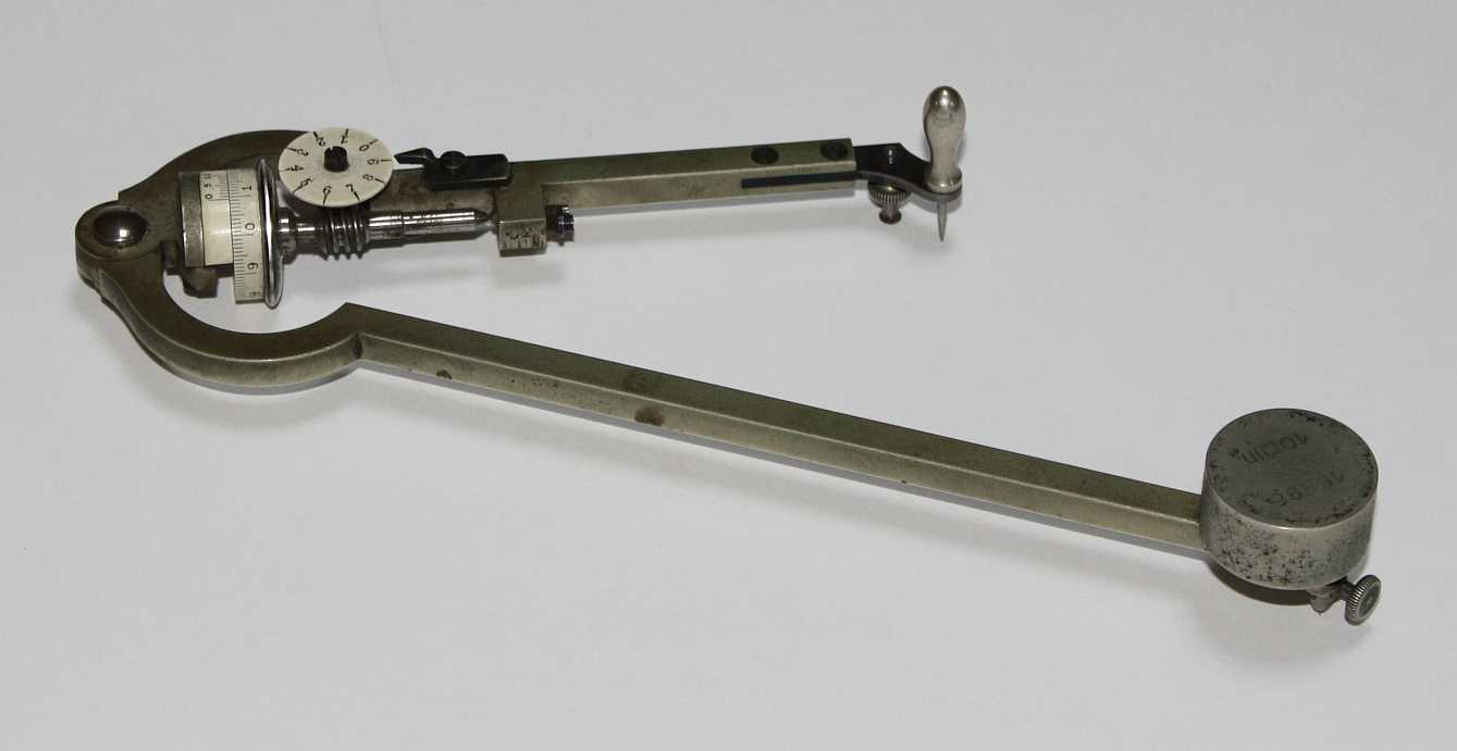
K&E sold “Planimeter, Amsler’s Patent, of German Silver, for computing small areas, in case, with directions” for $33 in its 1876 catalogue.
2.3 Coradi and the compensating planimeter
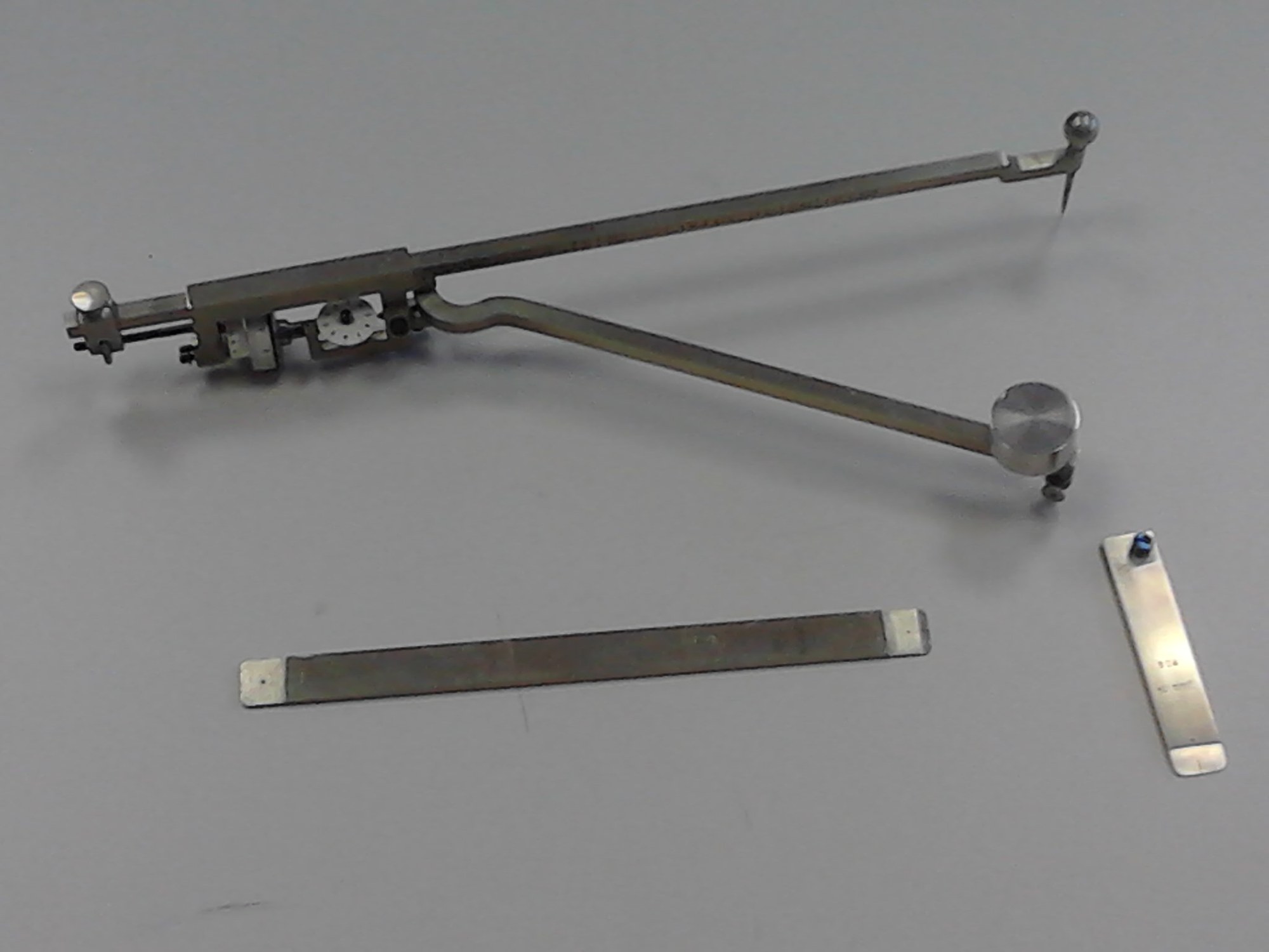
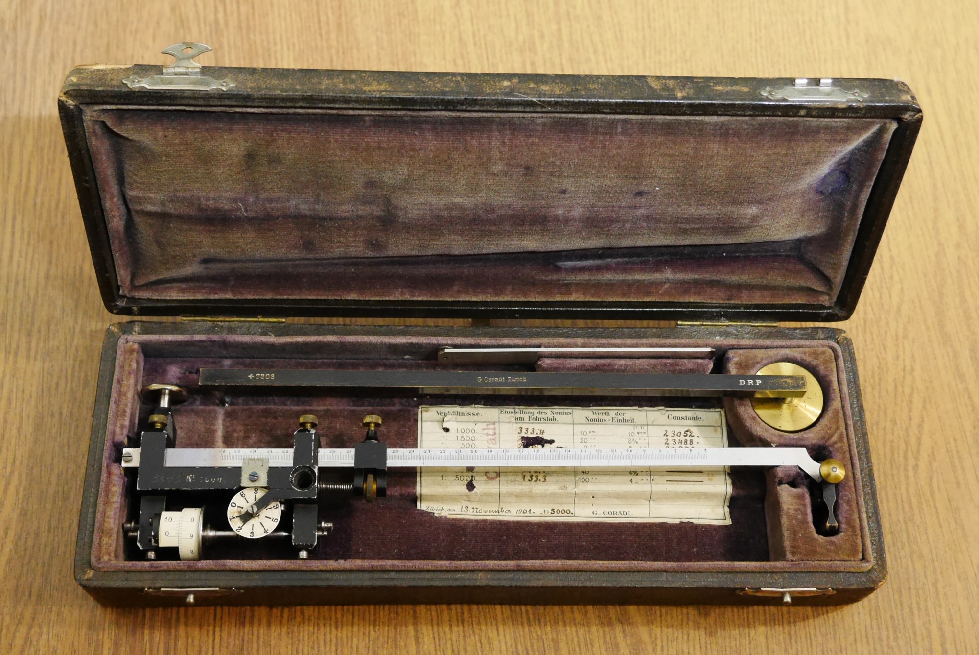
Gottlieb Coradi (1847–1929) opened a workshop in Zürich in 1880 and began making Amsler-type planimeters. In 1894 he introduced the compensating polar planimeter, based on a design patented by Lang in Switzerland in 1893: the pole arm rides above the tracer arm and the two meet in a ball-and-socket joint, so the instrument can be set up with the joint on either side, and readings taken both ways can be averaged to cancel its errors. By the 1930s the compensating type had all but replaced Amsler’s original design. Coradi also made precision rolling planimeters, the integraph and the Henrici–Coradi harmonic analyser.
2.4 The German makers
- Gebrüder Haff, of Pfronten in the Allgäu, was founded in 1835 by the brothers Heinrich, Fritz and Karl Haff, sons of a clockmaker. Haff made drawing instruments and planimeters, supplied K&E unsigned from 1867 to 1986, and is still in business, still making planimeters.
- A. Ott of Kempten, founded by Albert Ott in 1873, was one of the major industrial makers of planimeters and integrators, and made at least one model for K&E.
- Dennert & Pape of Altona, better known for Aristo slide rules, made planimeters for a time.
- In Britain, W. F. Stanley of London sold Amsler planimeters and made his own; in the United States, the Los Angeles Scientific Instrument Company (Lasico), founded in 1928, made planimeters when German imports were cut off in the Second World War.
2.5 K&E
Keuffel & Esser, founded in New York in 1867 and later at Hoboken, New Jersey, sold a full range of planimeters for engineers and surveyors: fixed-arm polar planimeters (4236, 4236M), adjustable compensating planimeters (4240, 4242, 4242½), rolling and disc planimeters (4260, 4262), a radial planimeter (4215) for circular recorder charts, and later digital models. K&E published a 32-page manual, Compensating Polar Planimeters (1949, revised 1957), and in 1903 a full book by J. Y. Wheatley, The Polar Planimeter and its Use in Engineering Calculations.
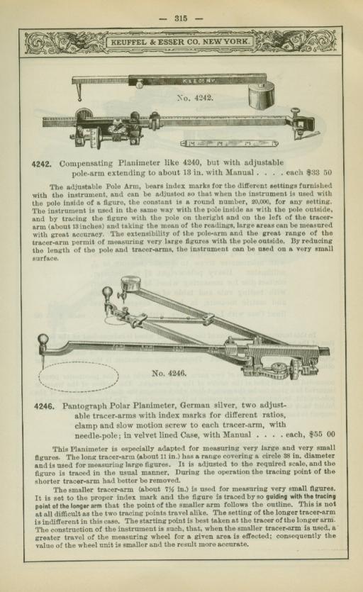
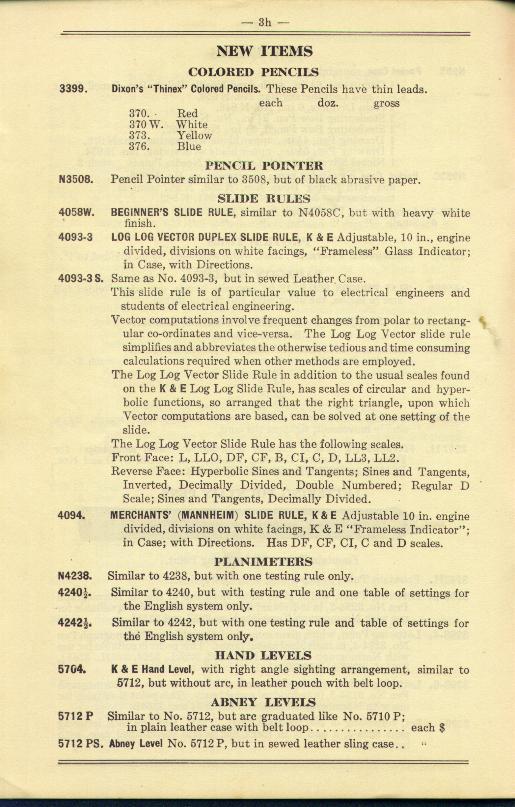
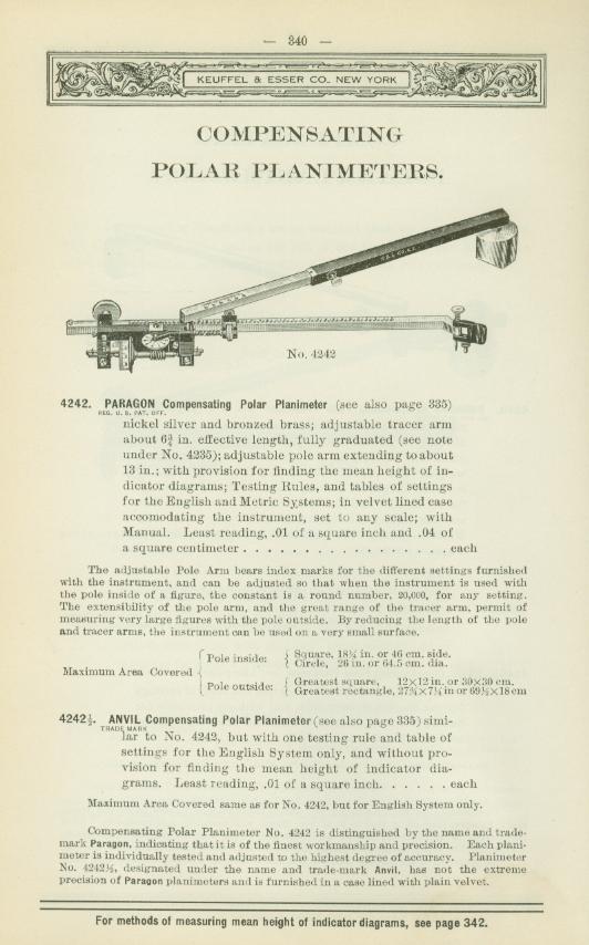
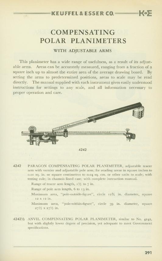
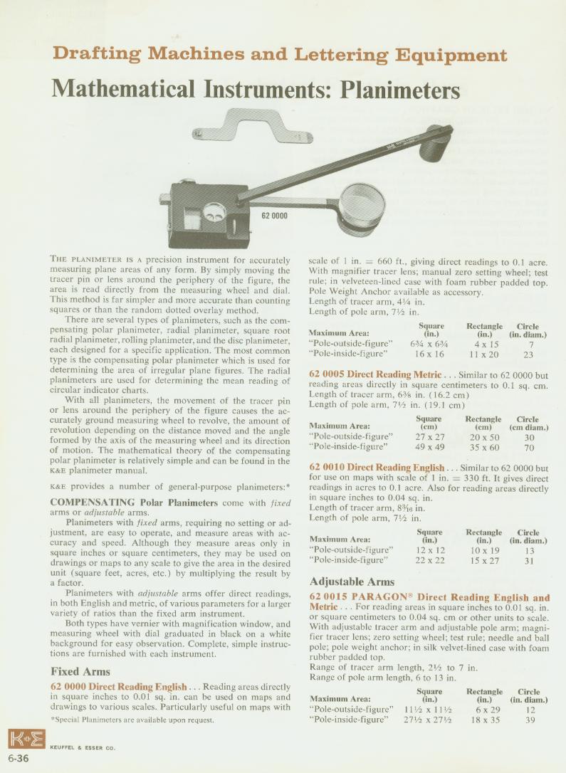
The 4242 cost $36 in 1901, $46.50 in 1909, $55 in 1921 and $98 in 1949. No price for the 4242½ has been found.
2.6 What planimeters were used for
- Steam-engine indicator diagrams. An indicator drew the pressure in a cylinder against the piston’s stroke; the area inside the loop, divided by its length and multiplied by the indicator spring’s scale, gave the mean effective pressure, and from it the engine’s horsepower. Many small planimeters were sized for indicator cards.
- Surveying and maps: the areas of fields, estates, lakes and catchments, read directly in acres or hectares by setting the tracer arm to the map’s scale.
- Earthworks and quantities: cross-sections of cuttings and embankments for railways, roads and canals, and the capacities of reservoirs from their contour maps.
- Recorder charts: flow and temperature charts, with special radial planimeters for circular charts.
- Science: leaf areas in botany, mineral proportions in rock sections, meteorological records, and in the 1970s the acreages of insect-damaged forest on aerial survey maps.
2.7 The end of an instrument
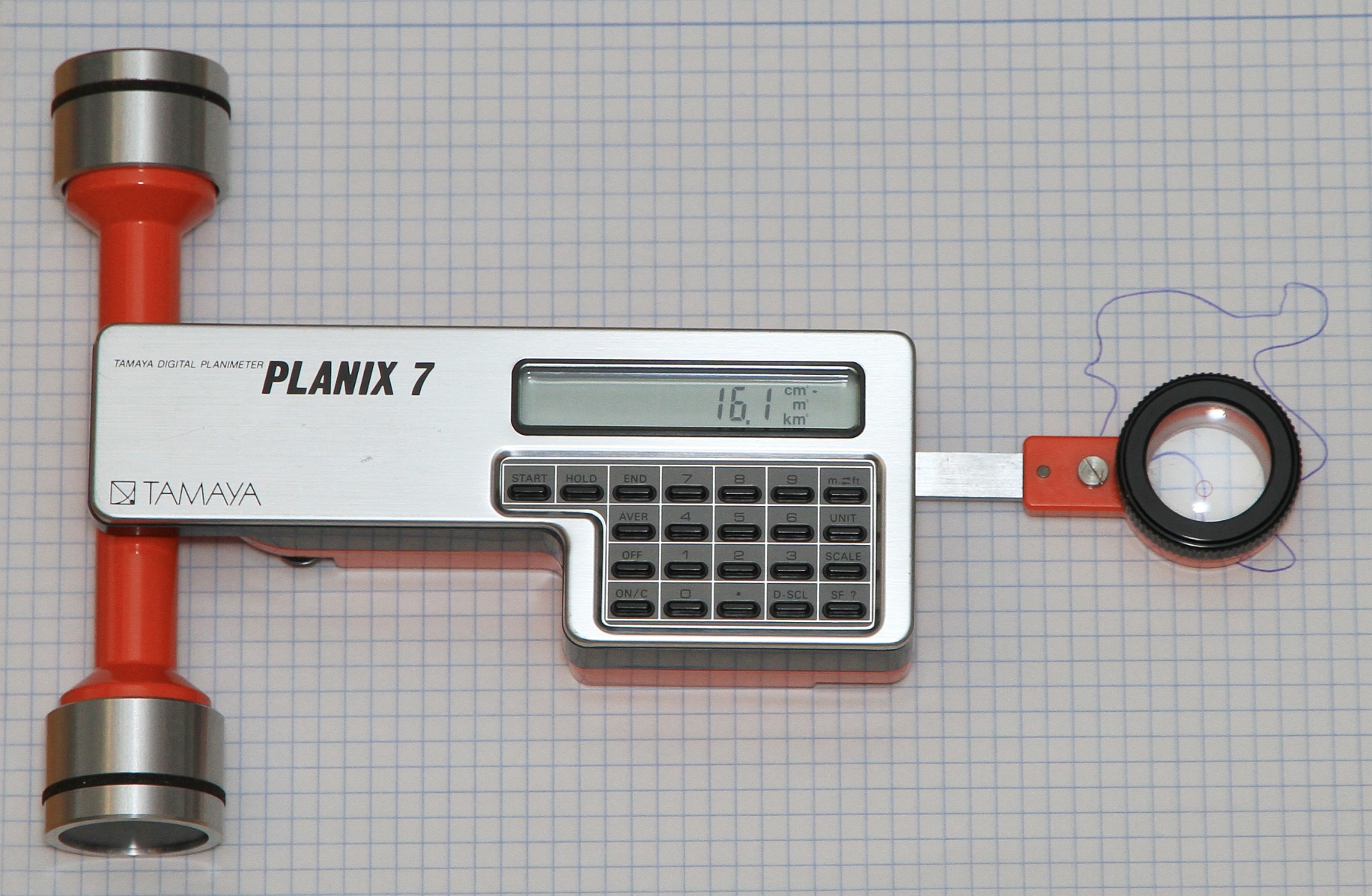
Electronic planimeters, with an encoder in place of the wheel and a digital readout, appeared in the later twentieth century from Tamaya, Koizumi (Placom), Ushikata, Haff and Lasico, and computer drawing and GIS software finally made the planimeter unnecessary. Haff still makes mechanical and digital planimeters today.
Sources
- K&E, Compensating Polar Planimeters (1949, 1957), scanned by Clark McCoy.
- J. Y. Wheatley, The Polar Planimeter (K&E, 1903).
- H. S. H. Shaw, Mechanical Integrators, including the various forms of planimeters (1886).
- C. Trunk, Die Planimeter (1865).
- Bob Otnes, “American Planimeters”, Journal of the Oughtred Society 11:2 (2002).
- H. J. Frost, “A Treatise on Planimeters” (Oughtred Society, 2025).
- W. van der Salm, “The Polar Planimeter of Jakob Amsler”.
- Vossepoel and Zerfowski, “A contribution to the history of planimeters”, Slide Rule Gazette 23 (2023).
- David Green, “Early Amsler Polar Planimeters: A Time-line”, uraone.com; Clark McCoy, K&E catalogue and planimeter pages, mccoys-kecatalogs.com; Planimetrica, Haff company history; the Smithsonian National Museum of American History’s planimeter records.
Comments (0)